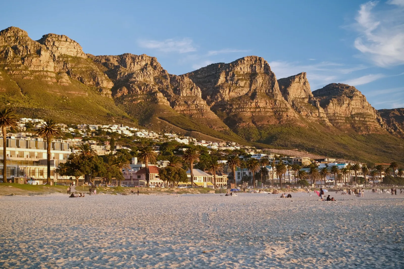
Ten minutes’ walk from the city centre, a large, partly empty stretch of land sometimes catches visitors’ eye. It was District Six, one of the liveliest neighbourhoods in Cape Town, demolished under apartheid. Its story explains a great deal about the city today.
A mixed neighbourhood at the foot of the mountain
In 1867 the municipality divided Cape Town into districts, and the sixth, set on the slopes above the harbour, took the name District Six. Over the decades it became the neighbourhood where freed slaves, craftsmen, dockers, shopkeepers, Cape Malay, Xhosa, Indian, Jewish, Afrikaans and English-speaking families, and immigrants from all over Europe settled.
People lived close together, in narrow streets lined with balconied houses, shops, mosques and churches. Several languages were spoken in the same street. Music was played in the evening on the front steps, and the minstrel troupes rehearsed there before the New Year carnival. It was not a wealthy neighbourhood, but its residents describe it as warm, close-knit and alive.
Life in the neighbourhood before 1966
The main artery of District Six was Hanover Street, lined with shops, tailors, fishmongers, cinemas and cafés. Families knew each other from one front step to the next, children played in the street, and on festive evenings music drifted from the windows. Many residents were seamstresses, carpenters, fishermen, musicians or small shopkeepers, and the neighbourhood lived at its own pace, a few steps from the harbour.
The cooking reflected the residents: curries, Sunday koesisters, fried fish, home-baked bread, festive dishes shared between neighbours of different faiths. Former residents often mention it first, even before the houses: the smell of spices, the noise of the street, neighbours bringing a dish for a wedding or a religious feast.
1966: a “white area”
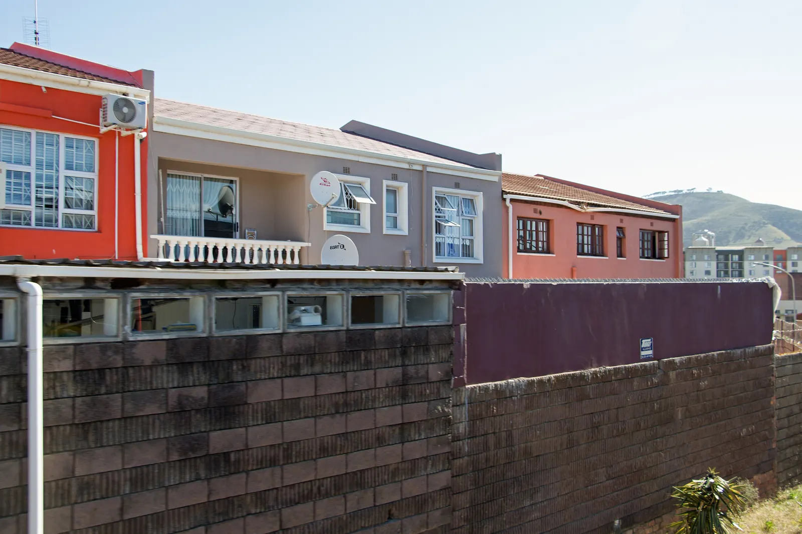
In 1950 the Group Areas Act provided that each neighbourhood in the country be reserved for a single group, classified by “race”. District Six, mixed for nearly a century, was nevertheless declared a white area in 1966. Removals began in 1968. Over about fifteen years, more than 60,000 people were moved to the Cape Flats, large sandy areas 15 or 25 kilometres from the centre, far from work, schools and relatives.
The houses were demolished by bulldozer. Only the places of worship were spared. But the neighbourhood was in the end hardly rebuilt for white families as planned: public opinion, churches and former residents mobilised, and the land remained largely empty for years. The scars are still visible today.
Why the land stayed empty
After the demolitions, a new neighbourhood reserved for whites was expected to rise. Almost none did. In the 1980s, a campaign called “Hands Off District Six” urged people not to buy or build on the land, and developers hesitated to take the risk. The few buildings of the period, including higher-education buildings, remained isolated in the middle of a vast stretch of wasteland.
This emptiness, visible from the mountain and the motorway, became a symbol: that of an injustice the city could neither erase nor ignore. Even today it invites the question of what should be built, and for whom.
The museum: a map, names, voices
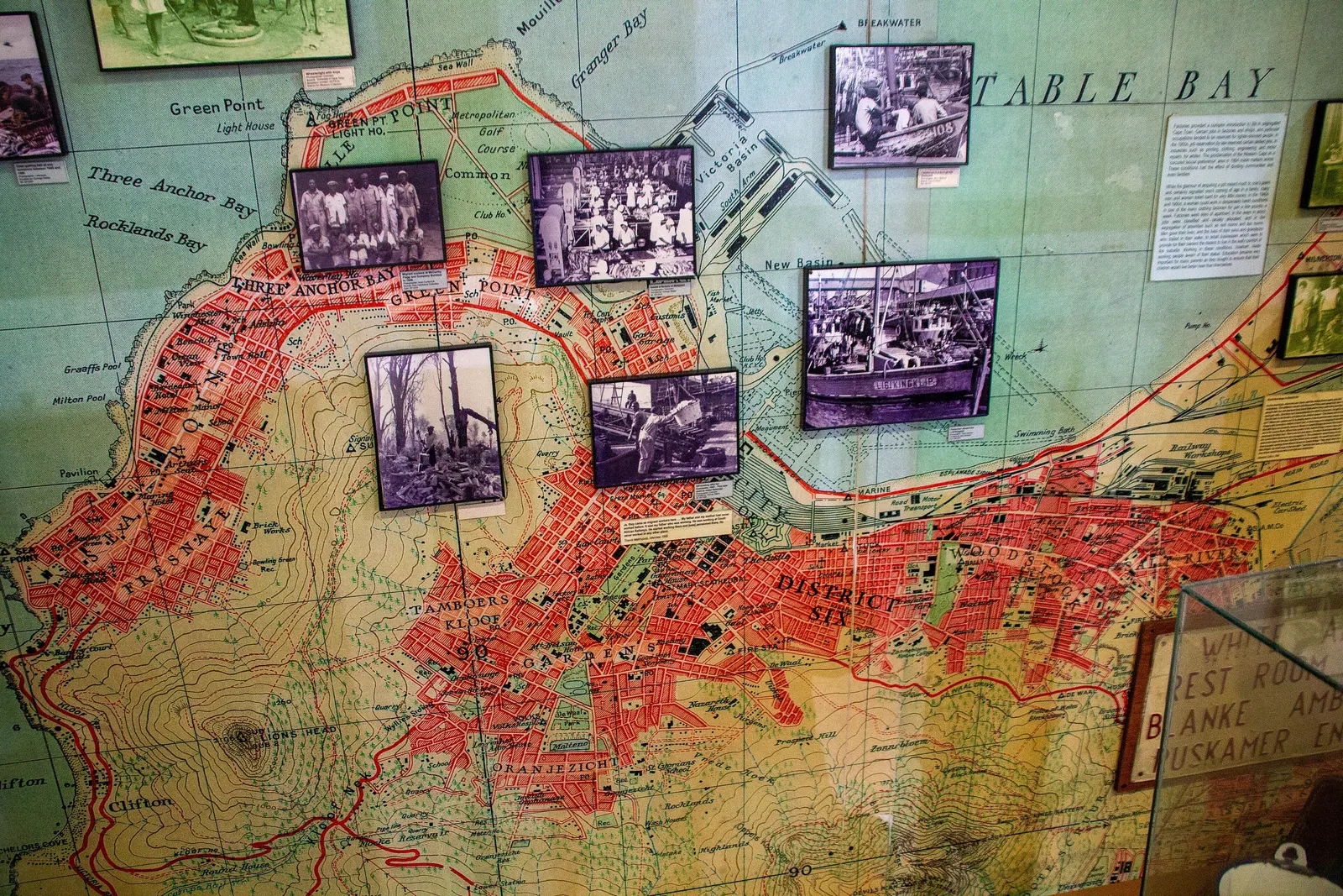
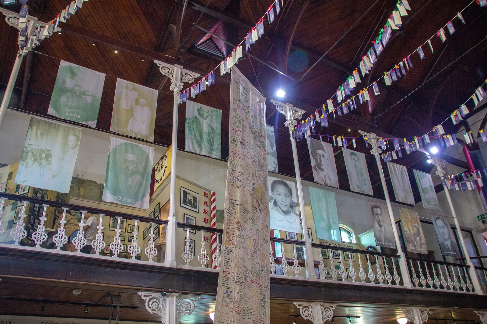
The District Six Museum opened in 1994 in a former Methodist church. It does not look like a traditional museum: it holds street signs salvaged from the rubble, family photographs, everyday objects, and an immense floor map on which former residents have written, in marker pen, where their house stood and the names of their neighbours.
Visits are often led by former residents of the neighbourhood or by people who know its history well. These are personal accounts, sometimes moving, to be listened to without hurrying. Allow an hour, and leave room for discussion.
After 1994: returning, rebuilding
The end of apartheid opened a new chapter. A land restitution law passed in 1994 allowed former residents to claim the right to return. From the 2000s onwards, new homes were built on part of the land and a few families found their neighbourhood again. The process remains slow, and many claims have not yet been settled. It is still an open subject in Cape Town, and one discussed seriously.
Memory in images, words and music
District Six left a deep mark on South African culture. The novelist Richard Rive, born in the neighbourhood, set his novel “Buckingham Palace, District Six” (1986) there. The photographer Cloete Breytenbach documented its streets in the 1960s and 1970s, and his images are now part of the city’s collective memory.
Music has also kept the memory of the neighbourhood: Cape jazz, carnival songs, church choirs and brass bands grew up there side by side. Former residents often say that the neighbourhood had a soundtrack, and that losing it was as painful as losing the walls.
What remains today
Walking around the site, you spot a few buildings spared by the demolitions: churches and mosques that still stand in the middle of the open space and serve as landmarks for former residents. The contrast between these buildings and the land around them tells the story better than a sign.
The streets sometimes still bear their old names, and some recovered signs have been placed in the museum. If you have time, ask your guide to show you where the old main street ran, then to tell you what stood there.
How to talk about it, how to visit
District Six is not an attraction: it is a family story for thousands of people. A few simple habits: ask before photographing anyone, listen more than you speak, and avoid quick comparisons with other countries. If you visit the museum, come in the morning if you can, when it is quiet.
To place this story in a wider context, read a short history of South Africa. To continue discovering Cape Town, read the Bo-Kaap and Cape Malay culture.
Photo credits
Photos from Wikimedia Commons, used under their original licence (CC BY-SA). Museum map and museum interior: Mike Peel, interior (CC BY-SA 4.0). Houses: HelenOnline (CC BY-SA 3.0). Photos resized.
Frequently asked questions
Why was District Six destroyed?
Because it was declared a white area in 1966 under the Group Areas Act, the apartheid law that reserved each neighbourhood for a single group.
How many people were moved?
More than 60,000 residents, between 1968 and the early 1980s, to the Cape Flats.
Can you visit District Six?
Yes, through the District Six Museum, in the city centre, a few minutes’ walk from City Hall.
Have former residents returned?
A few families, from the 2000s onwards. The restitution process is still under way and remains slow.